Day 232/3, 28Feb/1Mar 09: US parking Part 3: Grand Canyons & Joshua Trees
March 2, 2009 by Harry
Filed under Trip reports, USA, California, Arizona
We had a nice breakfast with Fanny & Didier and then finally said goodbye for real (this was the 3rd time), as they would fly back to Switzerland that day.
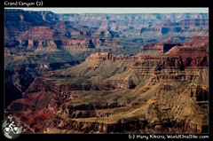
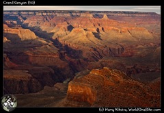
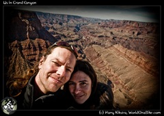
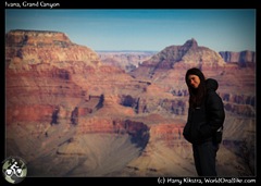
We went to the edge and viewed down the Grand Canyon. It is one of the world’s most famous and visited tourist attractions, with more than 5 million visitors each year (most of them from the US). It is something that many people put on their ‘bucket list’, but after looking down into the void, we both thought the same. ‘Is that it?’
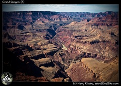 Don’t get me wrong, it is an amazing place. The gorge (with the Colorado River flowing through) is 1800m/6000ft deep and the other Rim (closed for winter) several miles away.
There are many beautiful rock formations everywhere, and different light creates different colours all the time.
But maybe because of the size we both felt like we were on a mountain looking down and towards another mountain. We both have climbed many –higher- mountains and 1800m drop was maybe therefore not so impressive.
 Maybe it was just the Grand name of the place, but we both agreed that Bryce canyon and the Horseshoe Bend were far more impressive places.
We headed to the visitor centre and then decided to simply see all the famous spots along the Canyon Rim. The Grand Canyon is most developed on this Southern side and a nice windy road curves along its edge, passing forests where elk roam free.
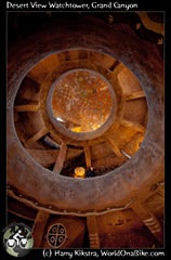
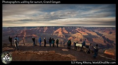 We spent some time in the old Watch tower, headed into the main lodges (where there was free Wi-Fi!) to Skype my mom for her b-day and then went to see the sunset that never really came in the western end of the route, the Hermit’s Rest.
–
 We decided not to stay another night in the park and took the main road out. It was still off-season, but there was a long row of cars, I can not imagine how busy these roads must be in summer…
After a few hours in the dark I had enough of driving and just off the ‘hysterical Route 66’ we asked the manager in a local Subway shop (we are still in the $5 footlong season :)) where we could pitch our tent. She said that we could drive down a dirt road and pitch our tent ‘anywhere after the 2nd cattle guard’.
 We headed into the dark middle of Nowhere, parked our car and pitched our tent next to the road in a grassy patch. In the middle of the night some cars passed which made us quite comfortable. It was weekend, the cars –all trucks- were doing at least 80 miles per hour and we were in the middle of Redneck country were, according to many people we had talked to, guns were more present than common sense…
1st march 2009: Wonderful desert in Joshua Tree
We made it through the night without any bullet holes, packed our tent and headed further west. Route 95 South was like a miniature rollercoaster, and only 2 lanes wide. We passed a cyclist heading our way, but due to heavy traffic, there was no place we could safely stop –let alone turn- to share some food and water, so we continued through the dry desert.
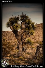 We arrived in a small town with the interesting name ‘Twentynine Palms’ (we spotted more) where we took the detour through Joshua Tree National park.
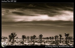
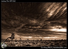
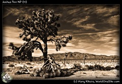
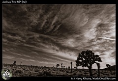
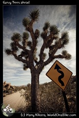
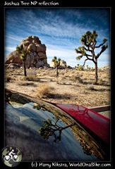
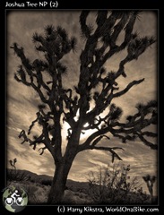
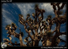
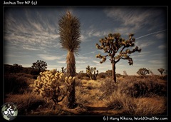
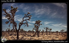
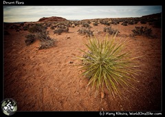
It basically is a high desert zone, named after the most common plant to be found here, the Yucca Brevifolia, better known as the Joshua Tree. Made famous by Anton Corbijn for the U2 album with the same name, it is an impressive plant. Not 2 are the same and it takes decades, centuries or even millennia to grow full size.
There are concerns about the future of the plant as climate change might make it too hot for the plant to grow, at least in most of the park.
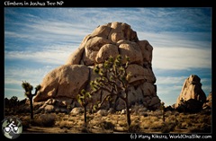
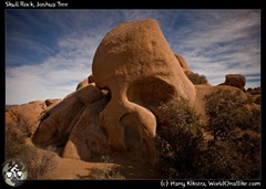
I really enjoyed this place. Ivana liked it as well, but did not find it so special, but I could not get enough of walking around the desert sands, checking the different plants, scrambling up rocks, and watching rock climbers climbing the bigger ones. Not sure what, but something about the park is very peaceful and much more fulfilling than the Gran Canyon had been…
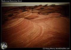
here is a photographic impression of the small park. As always (if you read this on the website and not in the newsletter): click for an automagically enlarged version on your screen. If you get bored by plants or trees (or photos in general), I suggest you scroll down a bit 😉
One more night of luxury: Palm Springs
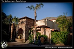 As mentioned in a previous post: I had traded some writing and photography for hotel nights, and we still had one ‘left’. We had contacted the Springs hotel and we were all set for a nice night in the hotel in Palm Springs.
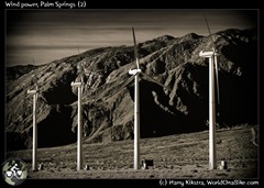
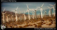
once we dropped down across the San Andres fracture -that is actually visible here- into Palm Springs, we were happy to see the desert filled with hundreds if not thousands of wind turbines harvesting the energy of the desert wind.
The place itself was a bit deserted, and many restaurants were closed, but the room was great and the pizza from around the corner tasty and spicy, a perfect ending to a great road trip.
On a bicycle alone we would never have seen all of these natural wonders, though it would make a great bike trip on its own. Hope you enjoyed the images and get to visit these places yourself one day.
Next report coming up soon:
Back in LA, time to pack the bikes and head down South again: From Los Angeles to San Diego, getting close to the border with Mexico…
Day 230/1, 26/27 Feb09: US parking part2: Bryce Canyon, Wire Pass Canyon, Horseshoe Bend
March 1, 2009 by Harry
Filed under Trip reports, North America, USA, Utah, Arizona
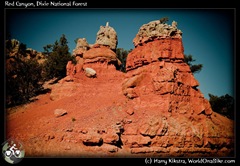
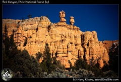
On our way we passed through Red Rocks, a quite nice place in itself.
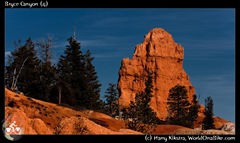
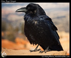
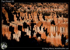
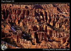
We entered the Bryce Canyon road in the afternoon, and it was already getting chilly. There was a lot of snow near the road and on most of the hiking trails, but still the views were spectacular. Rows of hoodoos and other interesting geological phenomena were basking in the winter light, while crows were begging for food from the few visitors…
27th February: playing the Slots again: the Wire Pass Canyon and Buckskin Gulch
All the campsites in Bryce were closed and full of snow, so had headed out again. We had made it to back to the junction with Zion park when it got too dark and we had gotten too hungry. A salad bar called our name and the waitress (shouting loudly “You ok with the Dr Pepper over there” to some other customers :)) told us that we could not camp behind their restaurant, but that the old RV park across the street was abandoned.
It was freezing at night and quite chilly, the next morning we had to scratch the ice from the car before we could drive. We had planned to see the famous Antelope Canyon, a ‘Slot Canyon’ where some of the most wonderful images of the US have been taken.
 As this and some other canyons are on Navajo land, our park pass did not apply and they charge additional fees for mandatory guided tours. Once we found out that this would cost $32 per person, for each of the two sections ($128 total!), we refused and decided to find some other canyons instead. It is the Navajos right to charge the fees, but in our view these are ridiculously high and there are several other places nearby.
 One of these is the famous ‘Wave’, a curvy feature made famous in photos and books about the South West. To protect it only 20 permits are issued per day and nothing was available.
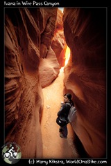
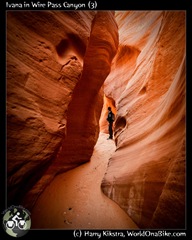
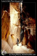
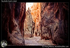
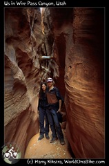
Nearby is the Buckskin Gulch, one of the longest and largest ‘Slot Canyons’. The first part is usually wet and not so interesting, but when entering sideways through the impressive Wire pass Canyon, you see the best of both parts.
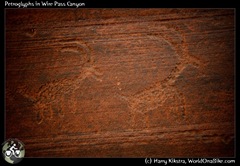
We spent a few hours wandering around, scrambling over some rocks, stepping in soft mud and admiring the shapes and colours and even some petroglyphs.
As we had come in through one end, the walls wee steep and high and both other ends were impassable as well due to soft mud and deep water, I did wonder where that cougar was, whose tracks I had just seen…
Save the best for last: The Horse Shoe Bend
We had talked with an elderly couple who actively hiked and photographed the South West. They told us about another place we should not miss, called the Horseshoe Bend, close to the city of Page.
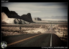 As it was on our way, we made a note in our mind and on our map as well and headed out onto the desert roads again.
We were on the shores of the Glen Canyon Recreation area, a huge artificial lake created by the Glen Canyon Dam, which is as impressive as the Hoover Dam.
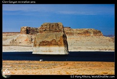 One of the few benefits of the dam is that the Colorado River water is filtered, so when we reached the Horseshoe Bend an hour later, we saw almost clear blue-green water instead of the muddy slush running through the other canyons.
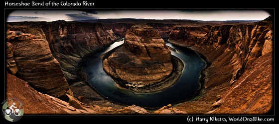
There was a small parking space and half a dozen cars were parked. A sandy track led about 800m over a small hill and then down to the edge of the canyon. You could see part of the U-shaped Horseshoe bend from above, but only when stepping right onto the edge we could literally feel the magnitude of the void in front of us.
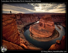 It was the most impressive place we had seen so far on this road trip and we already had seen so much in such a short time.
The combination of the colours, the height, the grand scale and the peacefulness made us admire it in awe and we spent a lot of time walking on the edge, taking many shots, but it was impossible to catch the total scene.
The image below is a composite of 5 images (a poster can be bought here on ImageKind), as even my 16mm wide angle could not fully grab it…
Next and final part 3 coming up soon: Grand canyon & Joshua Tree National Park
We entered the Grand Canyon park after dark and the entrance was officially closed. As we had our yearly pass, we simply entered through the exit road and searched our way to the campsite. Lo and behold, we again stumbled upon Fanny & Didier 🙂
next report: images from a Grand Canyon and a desert forest of Joshua Trees….


